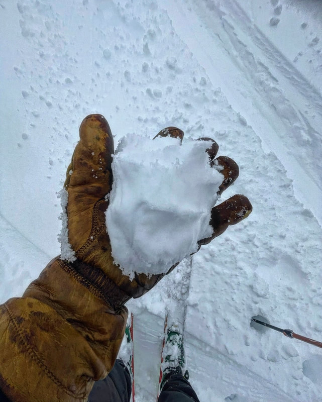
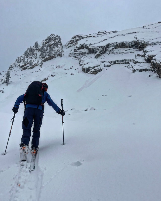
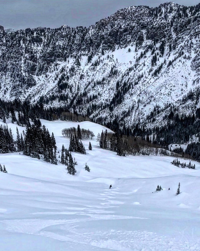
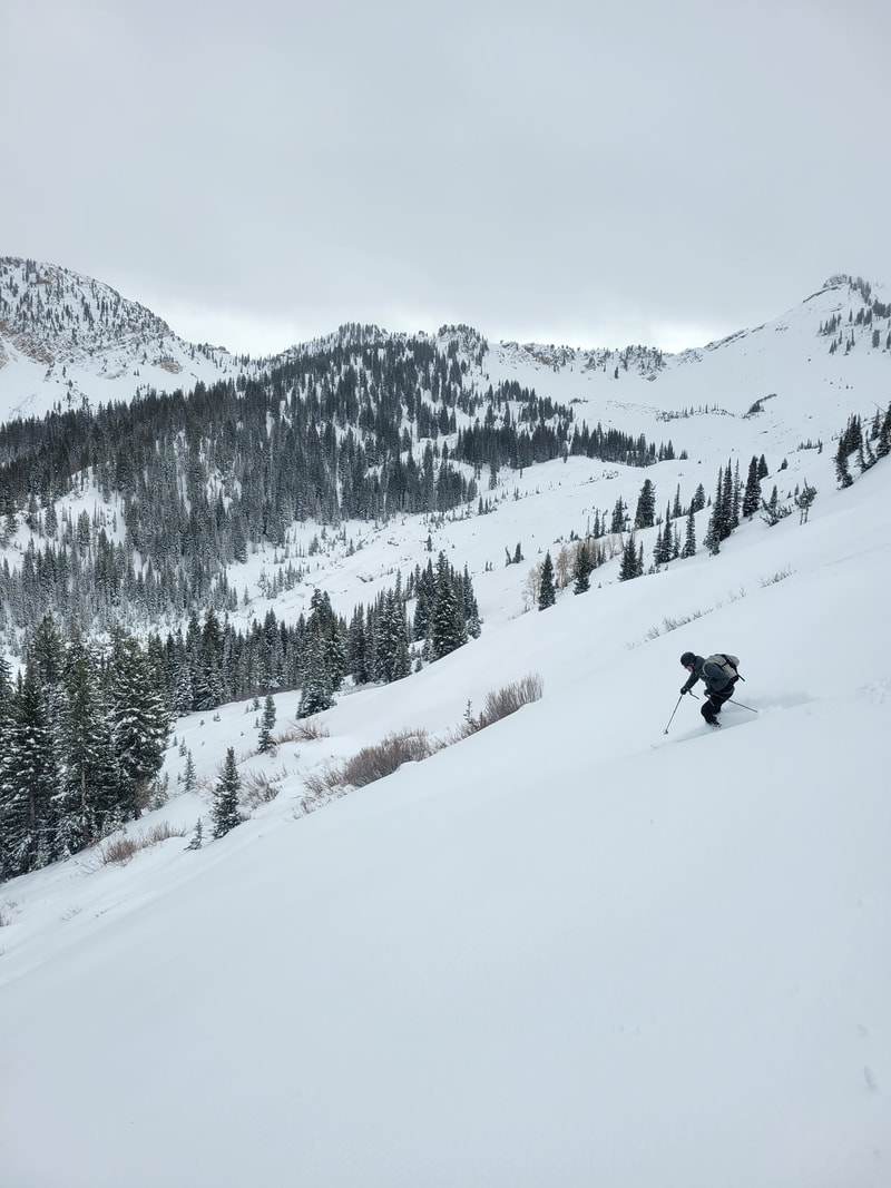
Cardiff Fork11/6/2022 Todays travel was up Cardiff from BCC, to Ivory Flakes, which is E facing and just under 10,000ft in elevation. There was 2 inches new damp snow at 7’200 ft and maybe 5 around 10,000. The snow up high was dense and surfy keeping you off the rocks for the most part but the surface was getting damp later in the day under 9,000ft due to warm temperatures and a bit of mist or light rain. The snow pack in general has settled out to a right side up compressed, damp at the ground state, which in my book is a really good start. The storm only produced 8 inches at the most and not the 16~20 predicted. The only instabilities noted were dry snow sluffs on Cardiac Ridge and below the Ivory Rock Slabs. You could make a snowball from the surface snow at 9,500ft and it seemed like the light density from Wednesday’s storm has been compacted in the terrain covered and is not going to be a factor in stability, especially after a very warm day tomorrow before the next storm. So far so good, praying we get the 2 feet predicted for midweek. Photo 1 is the snow surface at 9,500ft later in the day, photo 2 is a loose dry sluff that happened during the storm
1 Comment
Andrew
11/6/2022 05:35:25 pm
Thanks for the info, Mark! Glad to hear things are right side up. Looking forward to more avy info from you this winter. Cheers! Leave a Reply.If you are enjoying the observations, please consider donating on VenmoMark-White-240 
Archives
January 2024
Categories |
 RSS Feed
