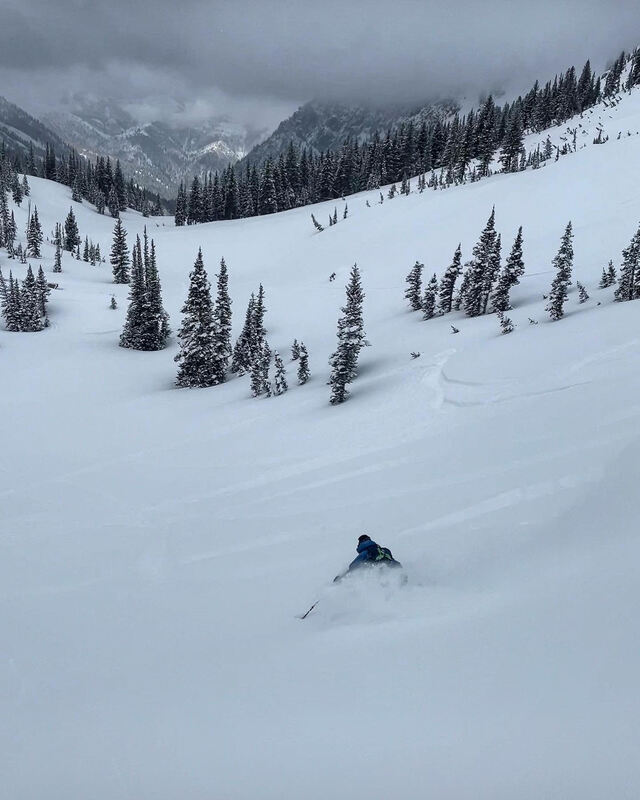
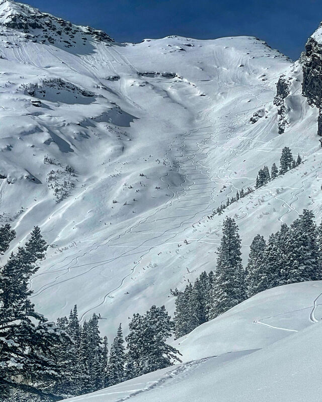
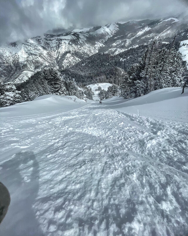
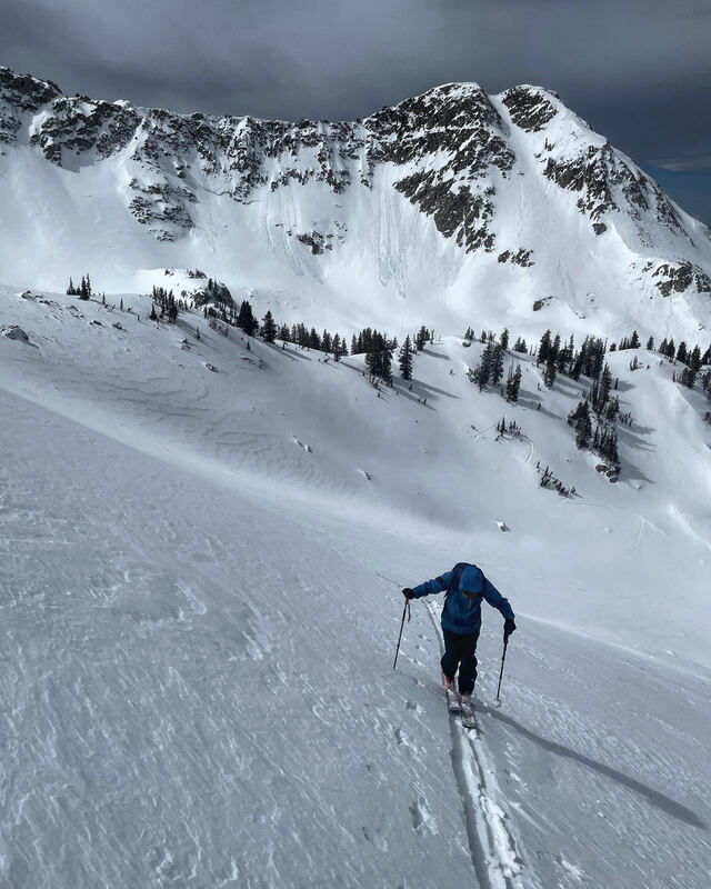
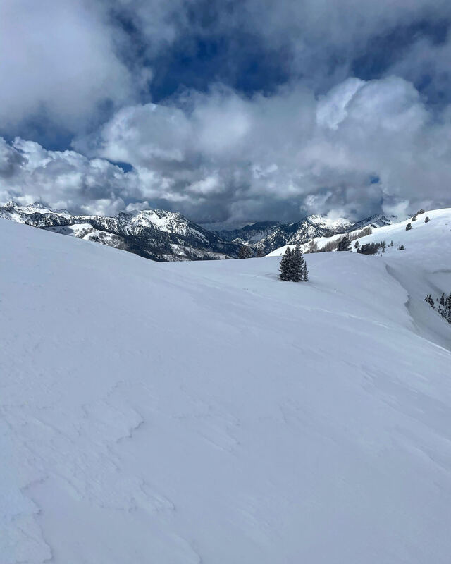
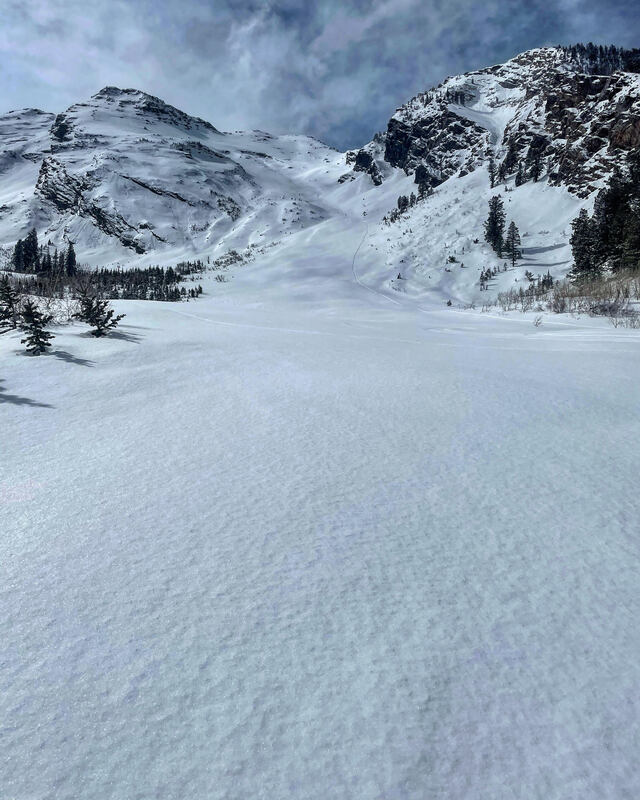
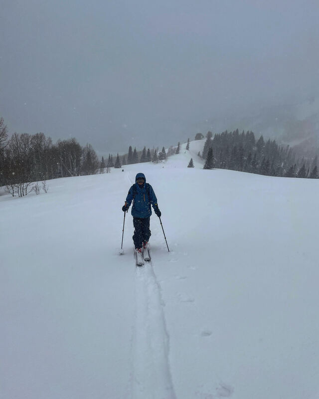
3/27/213/28/2021 Travel today was up the White Pine drainage to Red Baldy, NW facing. The temperatures were on the colder side most of the day, light breeze and partly cloudy skies. We skied the Rock and Roll chutes and found stable, dry snow, which skied deeper than expected. Looking over at the E facing Lake Chute there was quite a bit of wet activity in the form of point releases and wet slides. I am thinking only high north will be dry tomorrow.
0 Comments
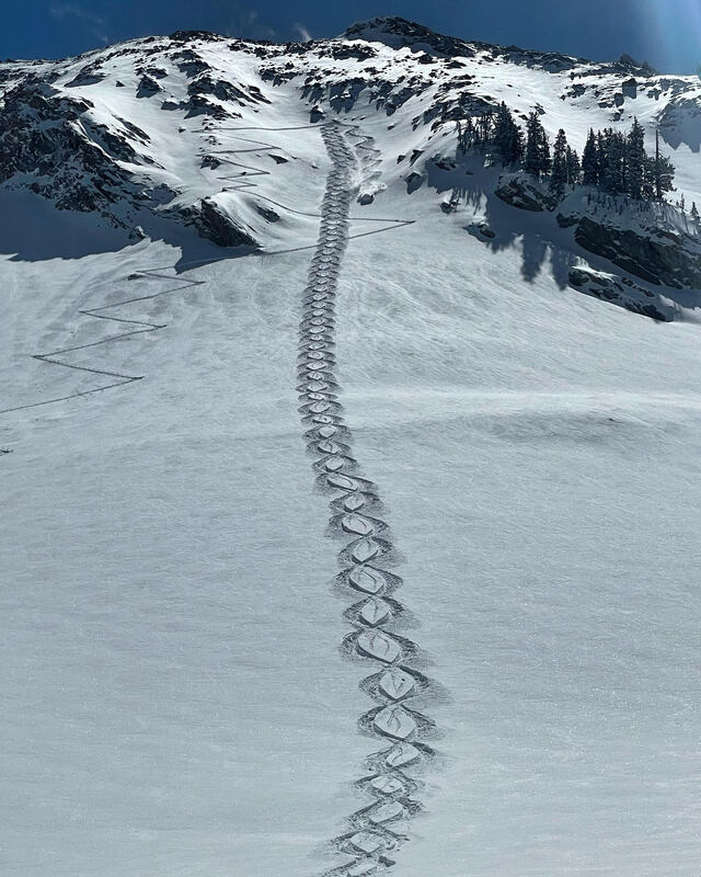
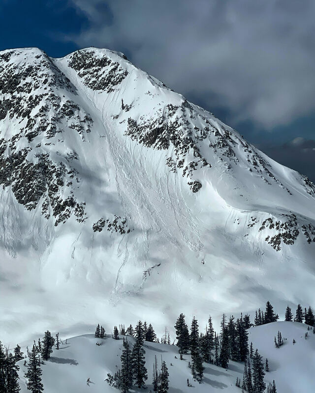
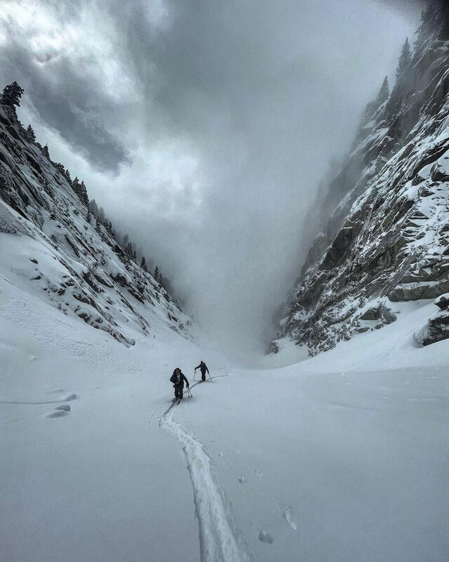
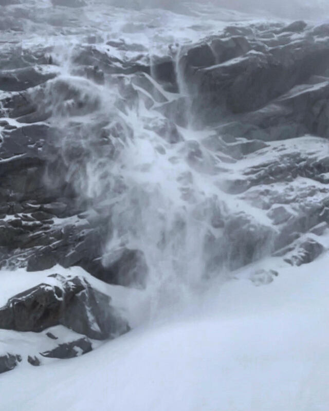
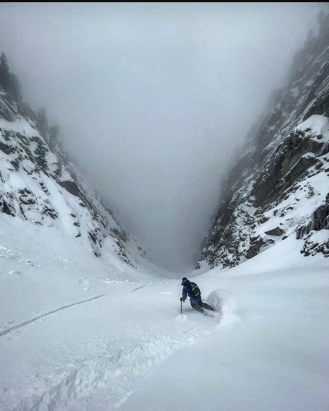
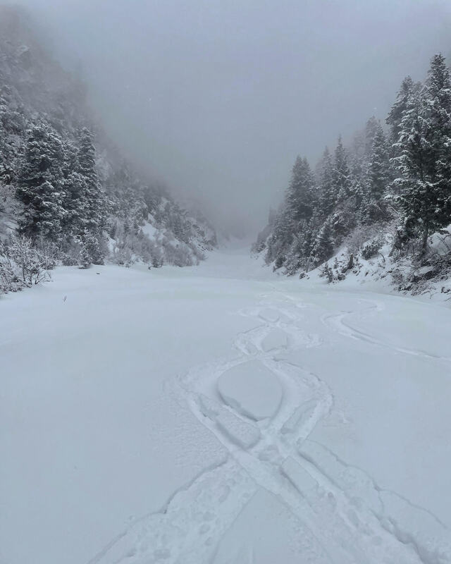
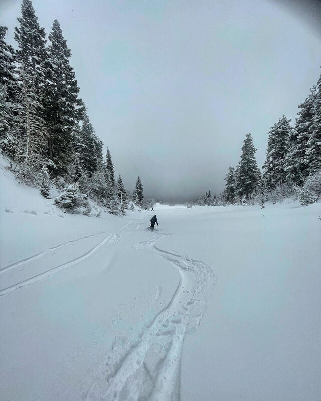
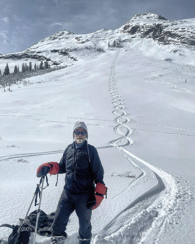
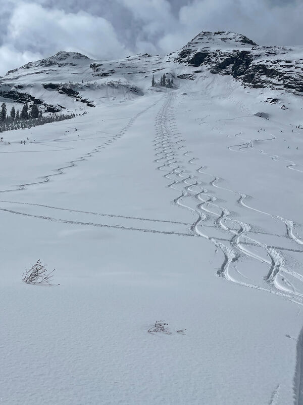
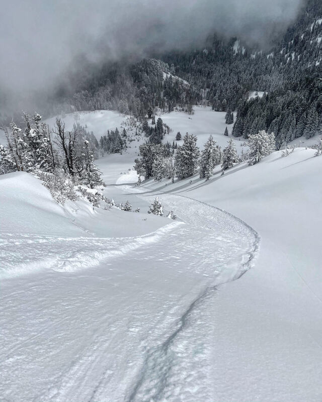
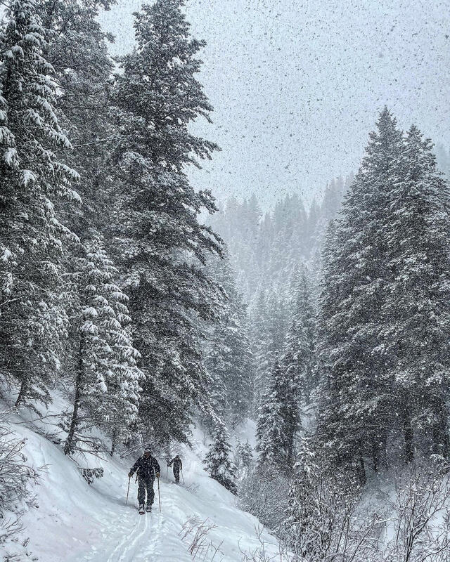
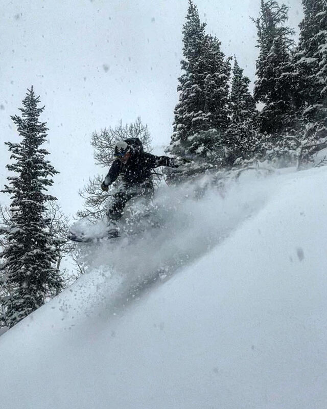
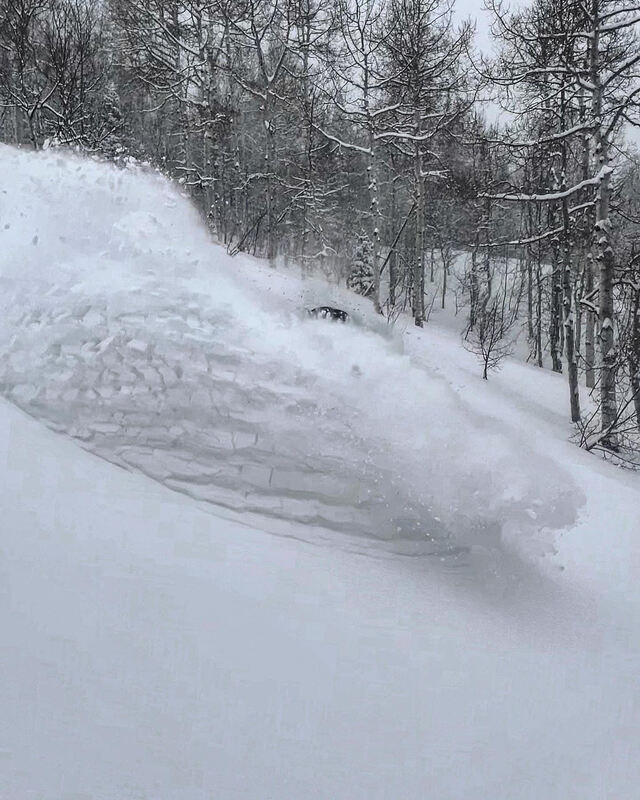
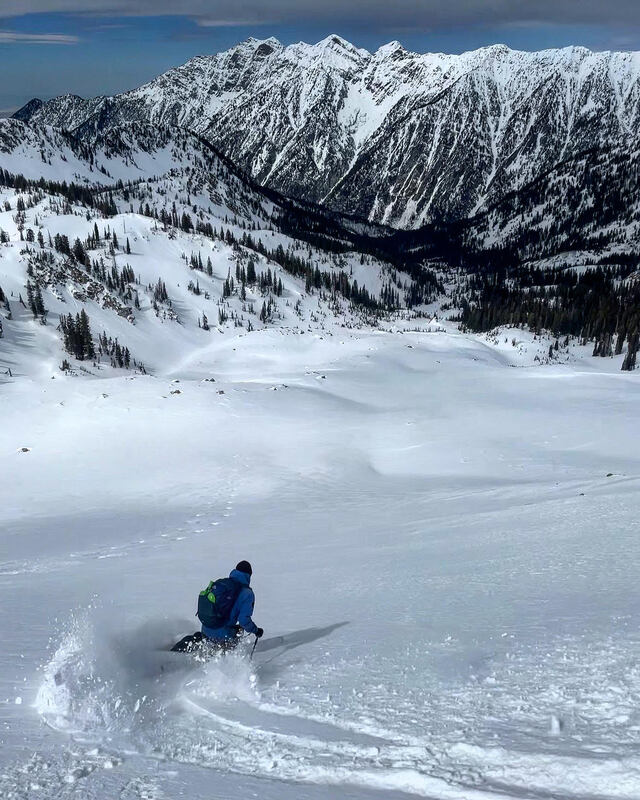
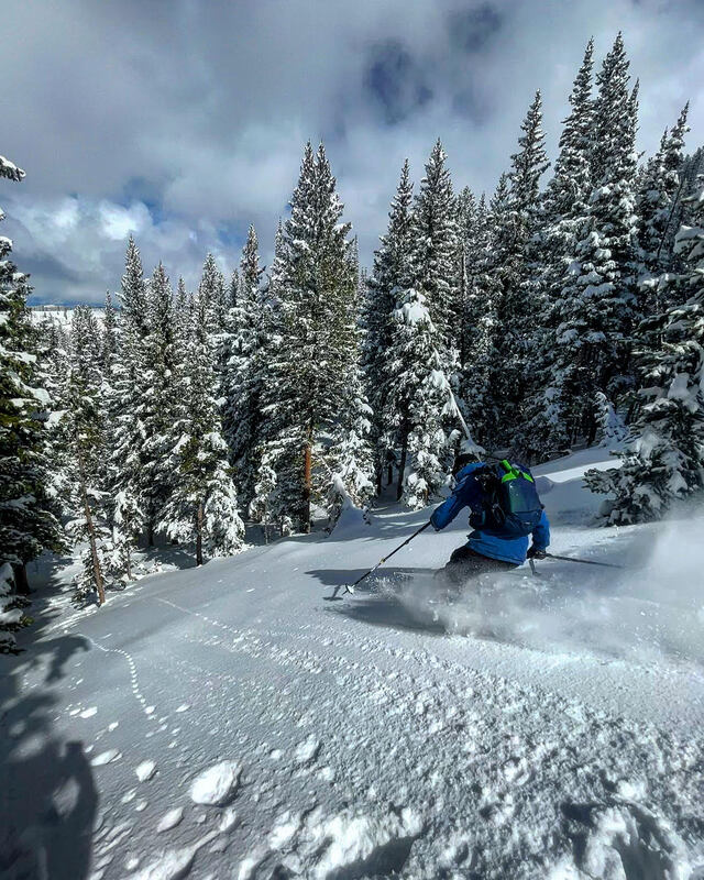
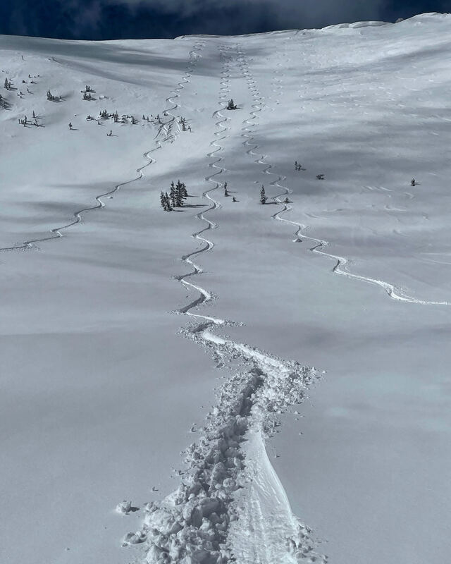
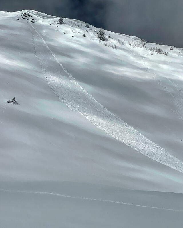
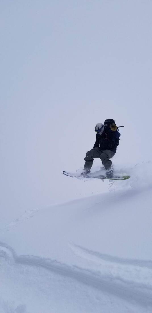
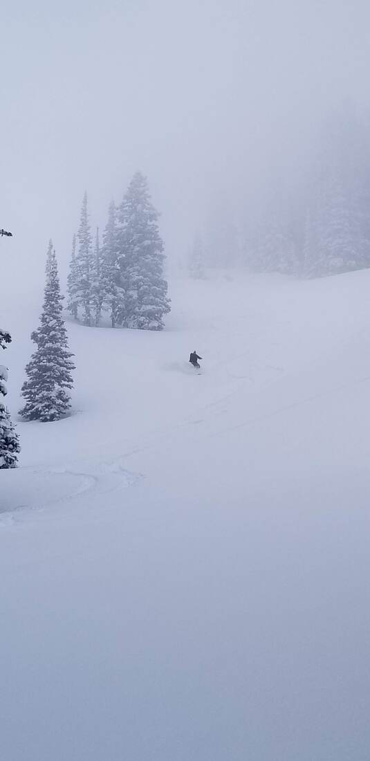
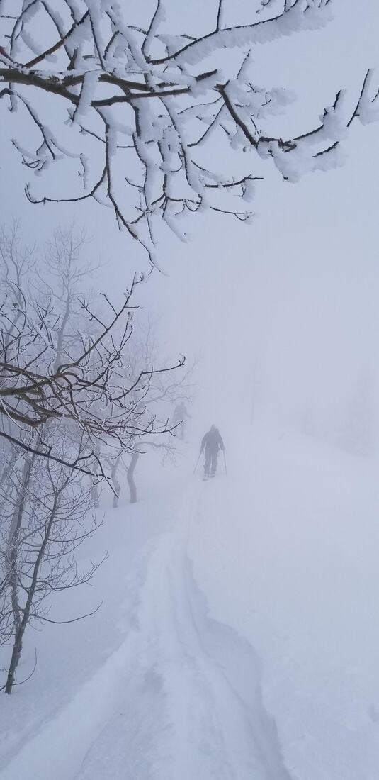
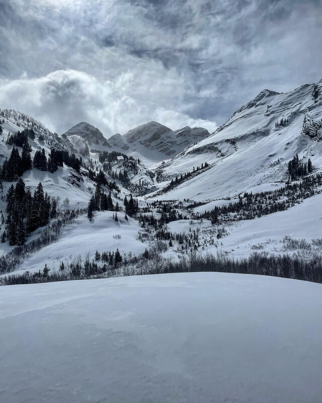
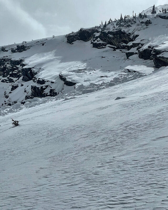
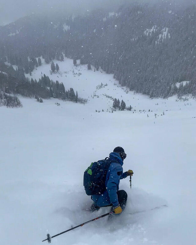
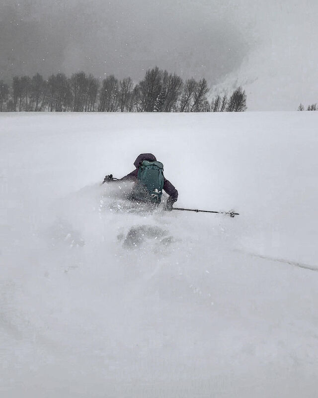
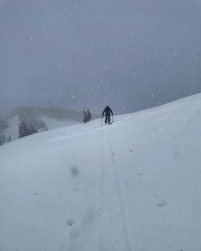
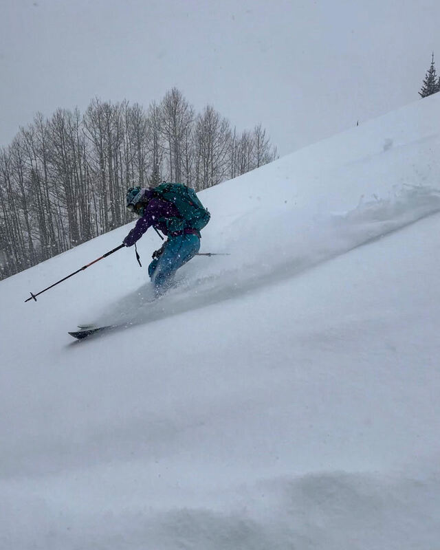
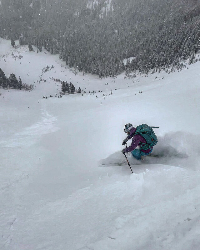
3/26/213/26/2021 Travel today was up Tanners slide path, then up canyon to Alta and over into Cardiff Fork. The weather was ping pong ball conditions most of the day, with light winds, light snowfall, and a few short sucker holes with sun. We went up Tanners first because it’s a couloir with high walls that allowed us to see the falline in foggy conditions, there was 4 to 6 inches of medium density snow mixed with graupel on a fairly smooth and not quite frozen bed surface. Lots of spindrifts coming off the walls on the way up. After skiing that we went up canyon and dropped into Cardiff Fork, skiing the NW facing under Holy Moley. The skiing there was exceptional with no bottom being felt due to soft snow underlying the new snow. Only activity noted today was sluffing in steeper terrain. Skiing out the S facing back to Alta was more like dust on crust but still skiable. 3/22/213/22/2021 Travel today was up Broads Fork to the Diving Board then up over the ridge dropping into Mill B. The weather was sunny in the am, then clouds dropped in with light snow showers. No wind to speak of and cold. There was about 15 inches of new light density snow from the weekend, right side up and well bonded to the old surface. There were some large sluffs from yesterday or the day before but no activity today. The sun didn’t really affect the snow on E/NE except down low in the drainage. I put the picture of Bonkers up because I don’t understand this skin trail, why put a thousand kick turns that continually cross the ski run? There’s a much safer and direct route that doesn’t expose you to as much hazard and also does not ruin the ski run for everyone else. 3/21/213/21/2021 Travel today was up Butler Fork to Wilson Chutes, which drops into Millcreek. There were light snow showers in the morning, and a little sun but not enough to affect anything up high. Felt like winter today, cold temperatures not much sun and a NW wind. Skied the Wilson Chutes, and the SE face of Wilson Peak. There was 12 to 14 of new snow, above 9000ft in the terrain covered, light density, right side up and stable. Sluffing in steep terrain was constant but managing sluffs is pretty straight forward- cut it, let it run and go 3/20/213/21/2021 Ttravel today was up Butler fork around 2 pm cause it hadn’t snowed much before then. Heavy snowfall all afternoon, wet at first then the cold front rolled through. Started with 4 at the trailhead increasing to 10 to 12 up high. The underlying snow was still saturated and soft on all aspects. The new snow improved the skiing, and seemed fairly stable. There was some cracking in the new snow but not enough to warrant not skiing in steeper terrain. If the sun comes out tomorrow it’s gonna go off fast on the sun exposed faces, high N and NW might survive, every thing else might get damp. 3/18/213/18/2021 Travel today was up White Pine to Red Baldy and the Rock and Roll chutes. The weather was warm down low but up high between the cloud cover and the wind it was actually cold. Skied NW facing which hadn’t received much sun in the last few days. The snow was mostly settled windbuff powder that was medium density, no bottom feeding was observed. Too cold for any wet activity but wind slabs up high were on the radar all day. The high winds were starting to form stiff wind slabs on our exit. 3/16/213/16/2021 Today travel was up to the PC Ridgeline, skiing West and South Monitor and NW facing USA Bowl on the exit. The weather was low laying clouds in the morning, then sun, and instabilities showers late in the day. The PC Ridgeline received the lions share of last nights storm, while LCC only received a few inches. The Wasatch Back received 10 to 12 inches of medium density snow, with no wind. As soon as the sun came out the NE, N and NW was the only thing that stayed dry. The only activity noted was some point releases off the rocks. The one in W Monitor ran all the way to the bottom of the bowl. I would think most aspects will be crusted in the AM except high North. 3/13/213/13/2021 Travel today was up willow to the PC ridgeline. Weather was socked in all day. Very little wind. Warm at first and a bit clearer down low below 9000 feet. Found some good skiing in Macdonald's. But it was hard to find anything. Spent some time wandering around in the cloud so we stuck to tree skiing so you could make it down. Good skiing on Wills hill as well. Snow depths were over a foot in all locations. Dense on the bottom so it skied well. 3/12/213/12/2021 Travel today was up Broads Fork in BCC. The weather was partly cloudy, with moderate E winds up high but not so bad down in the drainage. Stayed fairly cool all day. New snow amounts increased from 3 inches at the trail head at 5600ft to about 10 at 9600ft. The new snow was medium density with a little wind on it, just enough to keep you off the old bed surface. There was evidence of a large avalanche cycle a few weeks ago and also some glide avalanche activity that took place last week. We skied the Diving Board and Bonkers, both are E-NE facing and the snow was still dry on our exit at 3pm. The glide avalanche we saw was above the DB and cleaned out most of the overhead hazard on that run, but there’s still some suspect glide cracks on upper Bonkers. *****BTW, I’m running out of coin at this point in the season and if you appreciate my info maybe throw me some gas or food money on my venmo, skiing isn’t free unless your sponsored. 3/11/213/11/2021 Travel today was up Willow Heights to the Monitors. The weather was unsettled and cold with light snowfall and fog in the am, heavy snow and increasing wind from the SE in the afternoon. There was probably 4 inches of new light density snow from last night and this morning. Around 2:00pm heavy snowfall began, snowing 4 inches in one hour. Visibility was an issue most of the day, forcing us to ski the sub ridge first due to foggy, white out conditions. We got a little light later on and skied S Monitor. You could still feel the bottom on steeper slopes but it was mostly smooth in S Monitor Bowl. Sluffing increased with the high PI rates but will most likely settle out by tomorrow. The storm seemed mostly focused on BCC and the PC Ridgeline due to the south flow of the storm. If you are enjoying the observations, please consider donating on VenmoMark-White-240 
Archives
January 2024
Categories |

 RSS Feed
