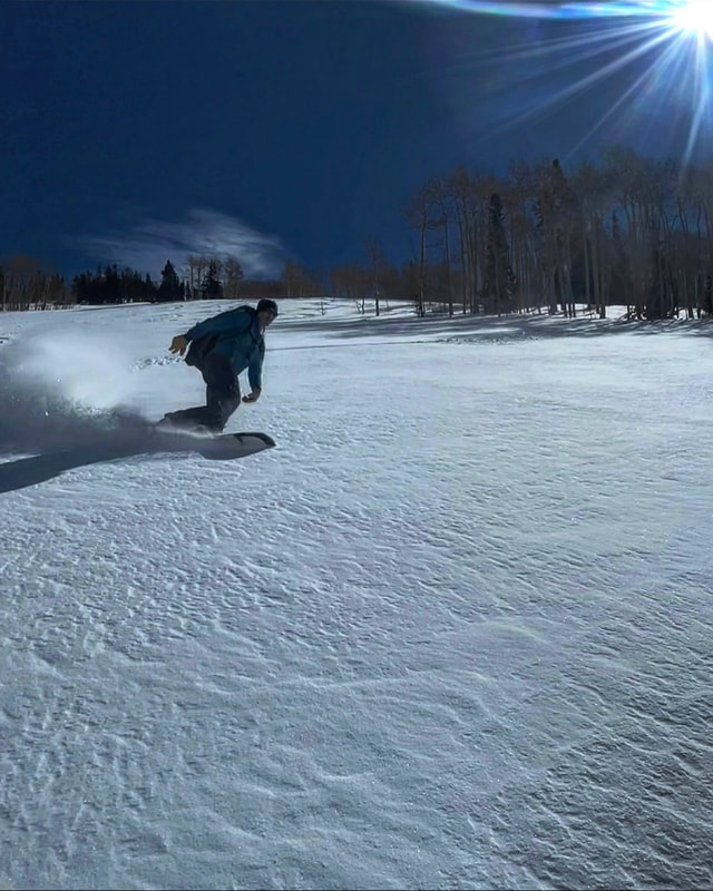
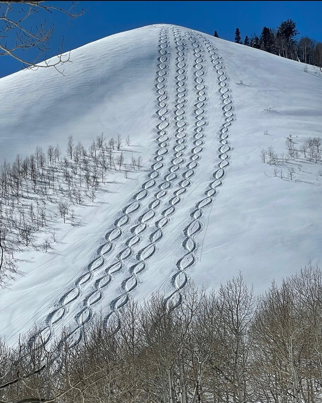
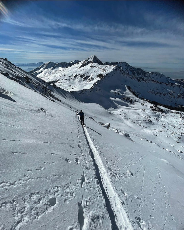
White Pine3/30/2022
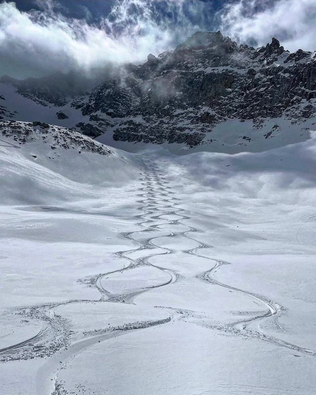
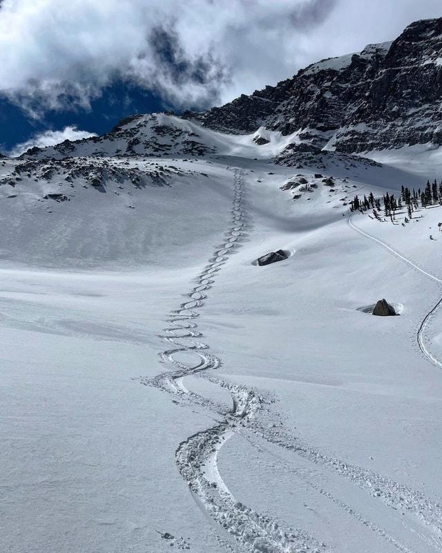
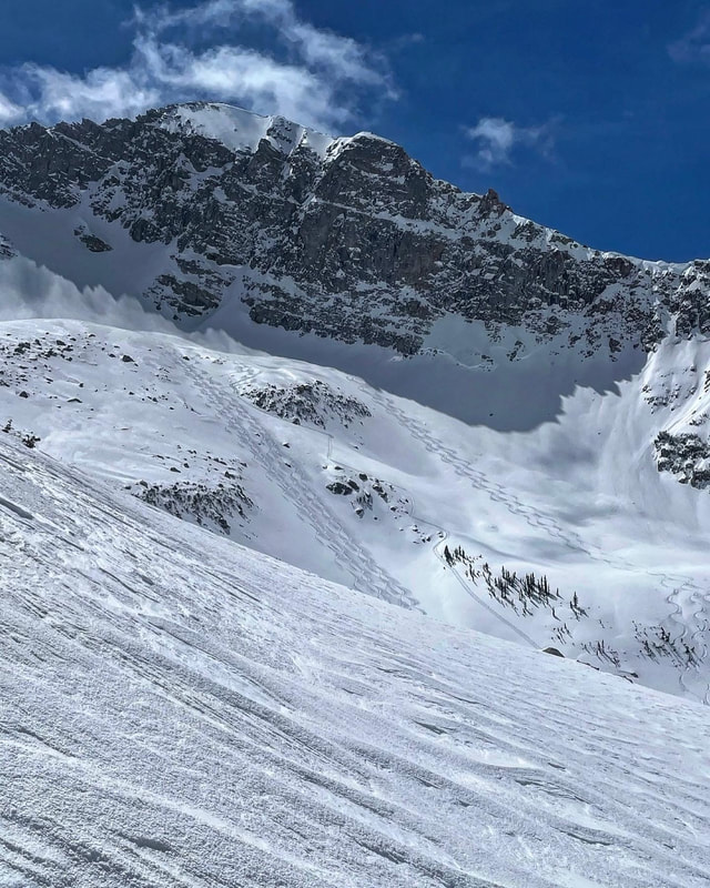
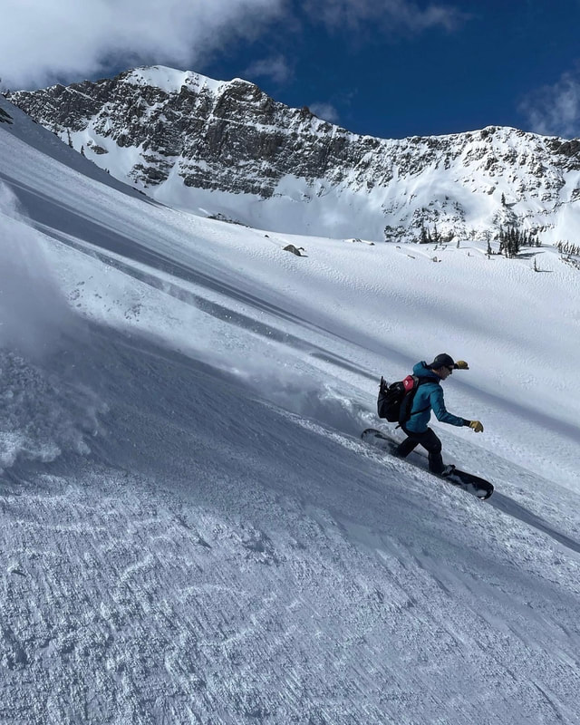
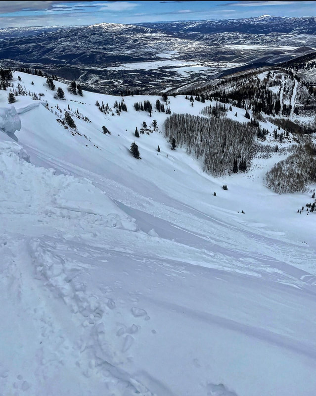
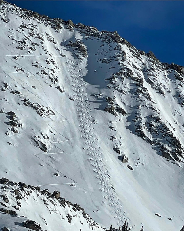
We got about 8 new inches of snow/graupel yesterday. We were planning on upper Cardiac but plans change and we decided to go up White Pine to Red Baldy. The wind was cranking from the NW in the morning hours into the afternoon. We started walking up under the Rock and Roll chutes first, got almost up to the rock bands and decided we might be making a mistake. It was all fine until we got under the chutes and realized that we were getting into a slab on top of bottomless roller balls scenario (graupel) bailed on that and went higher and more N/NE facing which didn’t have a slab just loose graupel. Snow above 9500ft stayed dry up until our exit at 2 pm. I would expect any lingering wind slabs to settle out by tomorrow but it’s high N or nothing also. Gonna try my luck in the Lasals this weekend, I’ll let you know how it turns out.
0 Comments
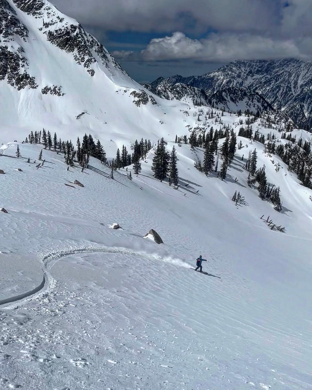
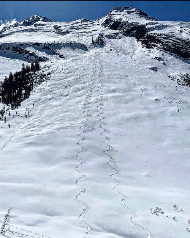
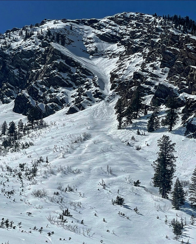
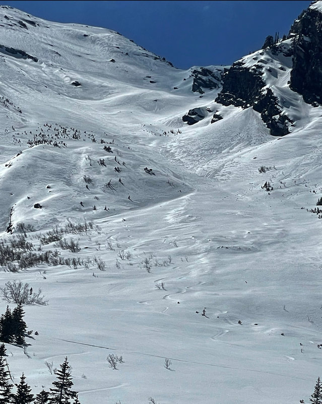
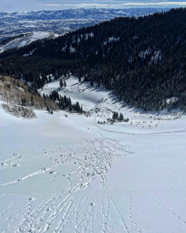
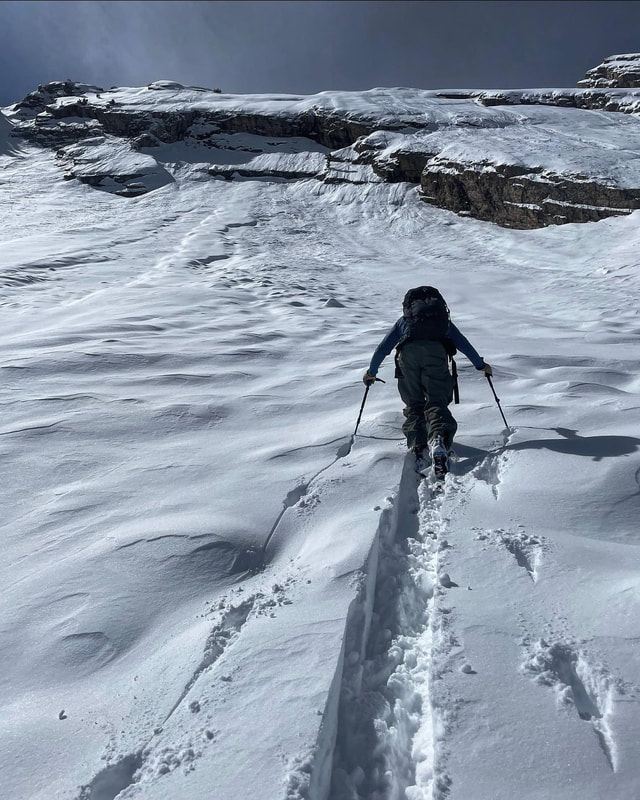
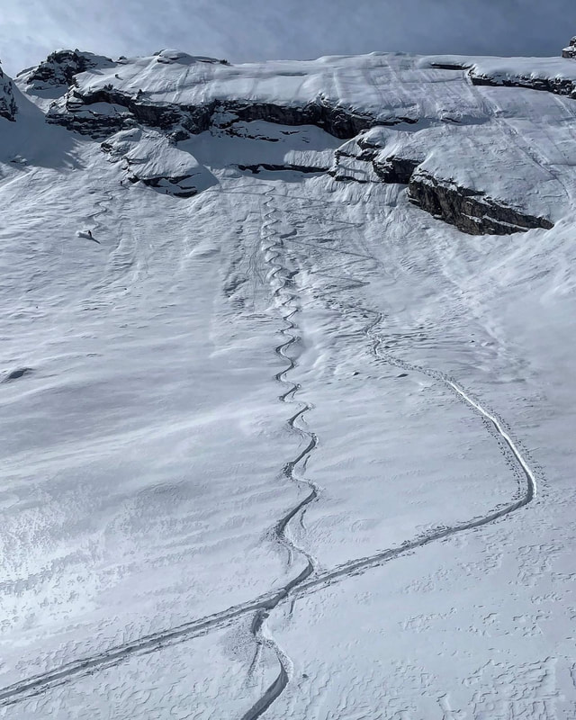
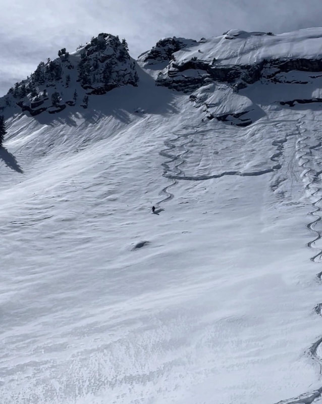
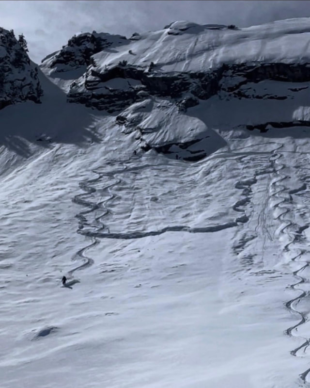
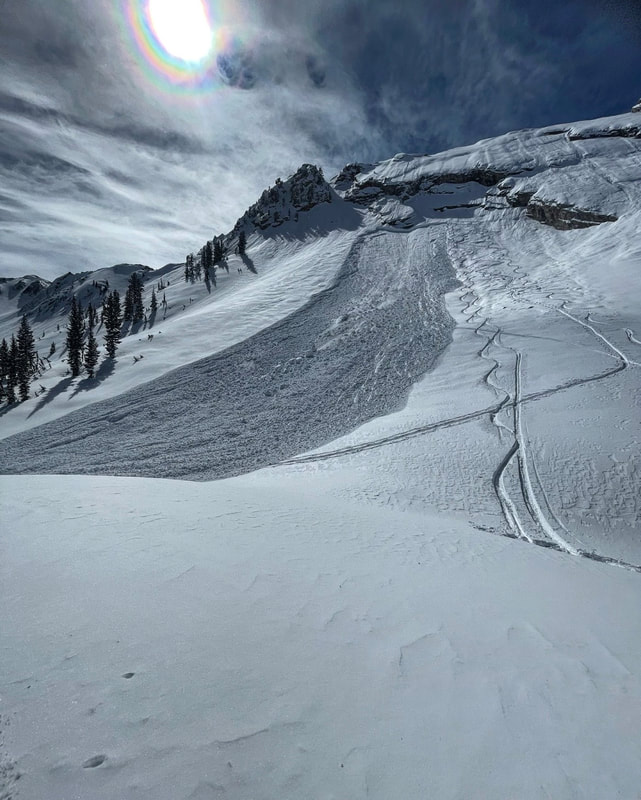
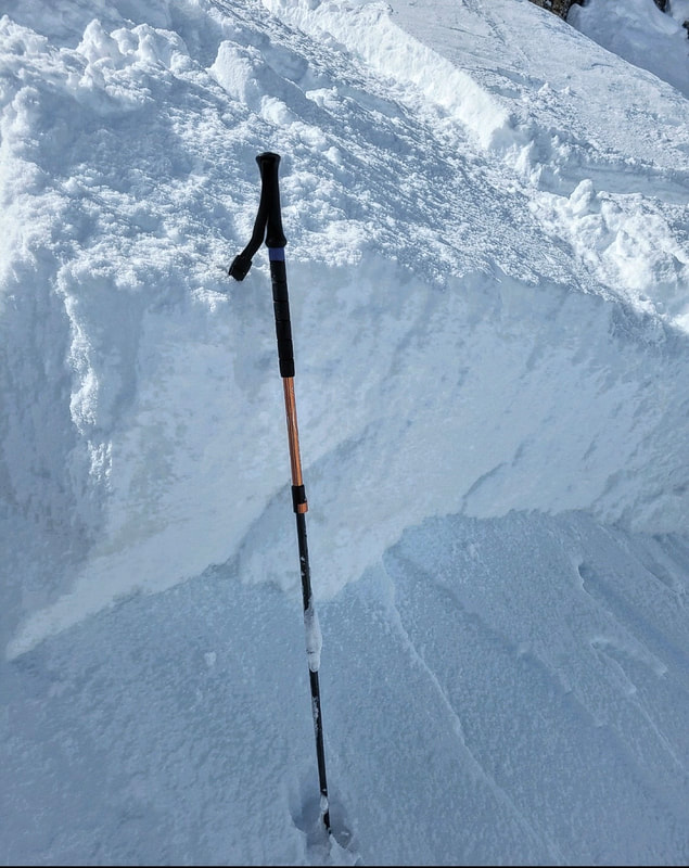
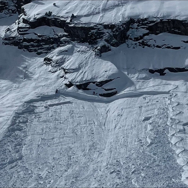
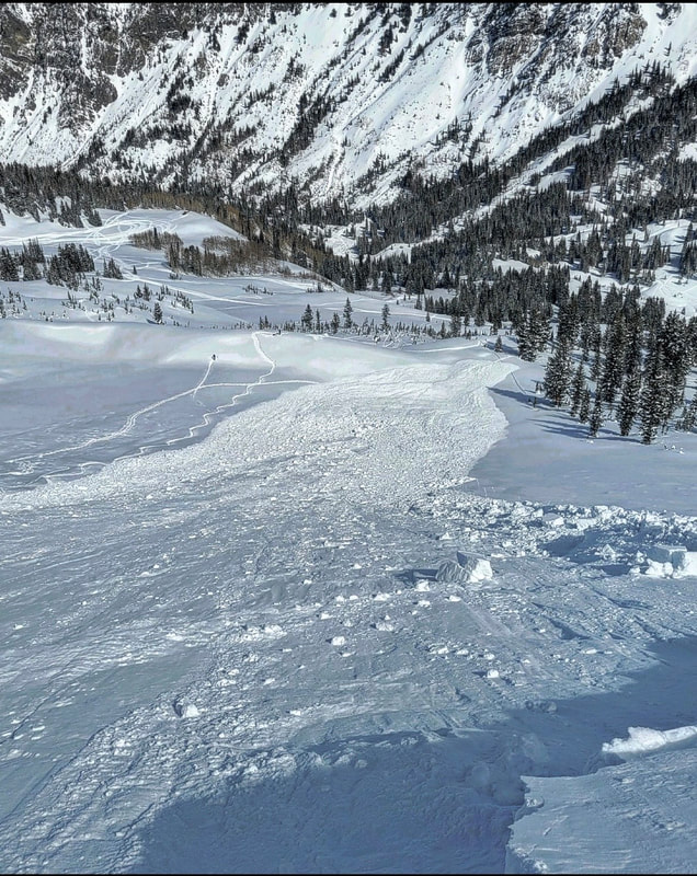
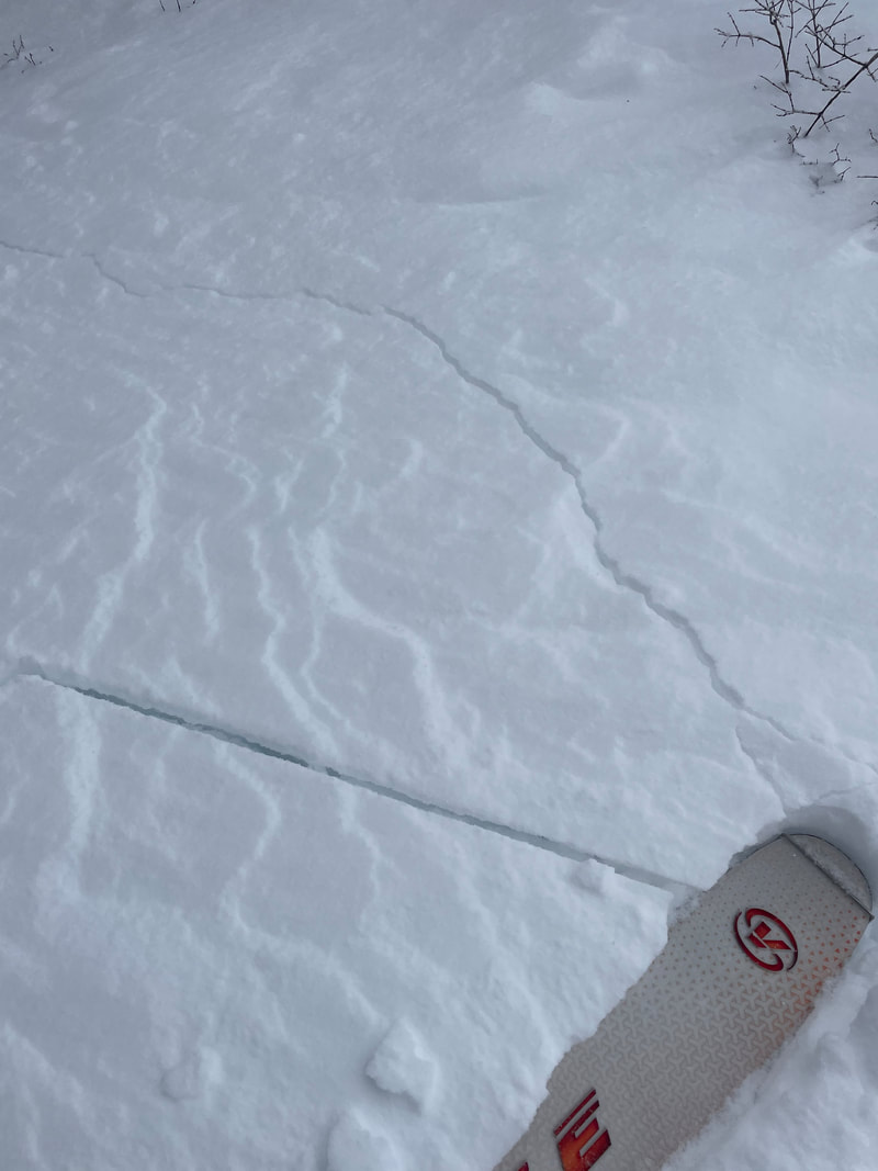
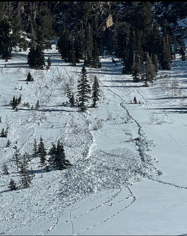
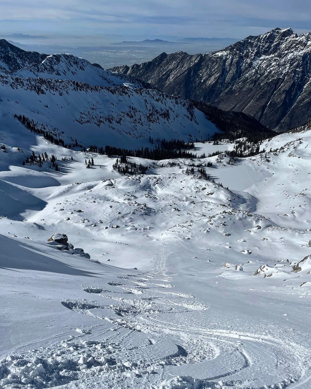
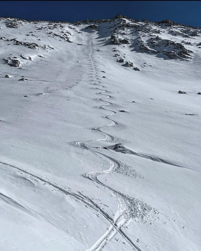
Broads Fork3/17/2022 ++ Reminder, Donations on Mark's Venmo are greatly appreciated++ Mark-White-240 Went to Broads Fork today not knowing what to expect. I was thinking that there might be some glide avalanche activity from the warm temperatures but there wasn’t, luckily there were some large slides from the storm last week. I noted large avalanches on Bonkers, and the Diving Board. The new snow had drastically settled out and has a nice blanket of graupel on it. The avalanche on the Diving Board covered about half the slope and that’s where I put my skin track. As always I probed the snow on my way up and was finding a hard bed surface with a about 3 inches of spongy snow topped off with a few inches of graupel. The graupel was much deeper in some places due to pooling. I did venture out on to the part of the slope that did not avalanche and found a slab sitting on a weaker layer so I decided to ski right on the flank of the avy path for safety reasons. I think the warm temperatures the last few days have helped to stabilize the pack. Seems like most terrain below 9000ft got damp then last nights clear cold night locked things up. Not so sure about what’s going on up high. Not saying we’re in the clear by any means but things are healing. Broads Fork is kind of an entity of its own, and when the heat is on it’s not a good place to be due to large unpredictable glide avalanches coming off the rock slabs up high. It stayed cold today due to the N flow but might not stay cold tomorrow. As always I’ve got my own way of assessing the snow pack and going where I go may not be in your best interest. (that’s my disclaimer). Also the approach to Broads starts at a low elevation and walking in and out is required. There is also some serious breakable crust at the mid elevations. PC Ridgeline3/15/2022 Headed back to the PC Ridgeline with intentions of skiing South Monitor. I was up there yesterday and decided to let it settle for another day and come back in the morning. By the time we got there around 10am it was too late. Roller balls were releasing across most of the bowl and pinwheeling down the slope gathering the wet snow on its way. Decided it would be a bad idea to ski it when it was going off, fearing a wet slab avalanche. Proceeded over to West Monitor which was also going off with roller balls across the entire face even the most northerly facing portion. Ended up skiing the only thing that was still dry in that area, the NW facing Wills Hill, which remained dry until about 1:00pm then it got damp as well. It was obvious that the N facing was going off. N facing West Willow Ridgeline had point released all over it. Gods Lawnmower and the Kessler slabs also had roller balls. We didn’t realize it was going to get that damp today but when we made it back to the car we realized it was 50 degrees at 8600ft. The heat may have messed the skiing up today but might help with stabilization when it gets cold and locks up. Only time will tell. Cardiff fork3/11/2022 Today we headed up Cardiff Fork from BCC, the plan was to ski the lower angle terrain in the Ivory Flakes area. We had already skied an E facing low angle run and headed up to the nob under the Ivory Rock Slabs which is all low angle terrain. Once we got to the nob we realized that all the slopes under the slabs had avalanched during the storm. There were two pockets that had avalanched deep down to the PWL and that’s where we put our up track, probing with our poles down to the hard bed surface as we ascended. Once we got to the top I skied an 8 foot wide strip of snow that hadn’t avalanched between the two deeper slides. My partners moved to the right to ski. What we didn’t take into account until after is that the right side had avalanched but not down to the PWL. The second skier started skiing down and was almost half way down the run when it fractured a couple hundred feet above him. Luckily it was a slow moving slide and after hearing us yell "avalanche" my partner easily skied to the side before the avalanche got too close. The slide was about 100ft wide, had a 4 foot crown and ran about 500 vertical feet. the avalanche stepped down into the PWL and left a bed surface of loose faceted snow behind. A couple take always are,1. we would have never ventured up the slope if it hadn’t already avalanched, 2. the PWL we are dealing with is tricky and pockety, and 3 the part that did avalanche during the storm must have reloaded up on the weak layer. In addition, we watched the groups from the helicopter and they were safely skiing the entire drainage - LSB, High Ivory, Holy Toledo and Cardiac Ridge. A false sense of the conditions. But in the long run we can only blame ourselves and learn from this one. Second to last photo gives you perspective on the size of the crown. You can see the other two people in our party standing above it. Soldier Fork3/10/2022
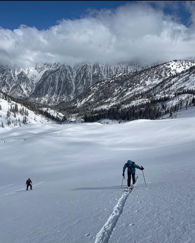
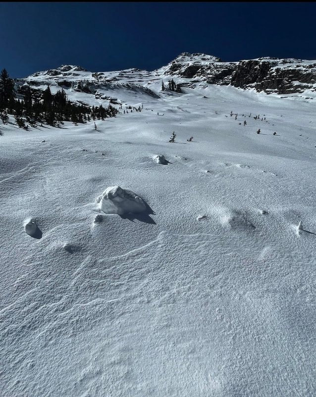
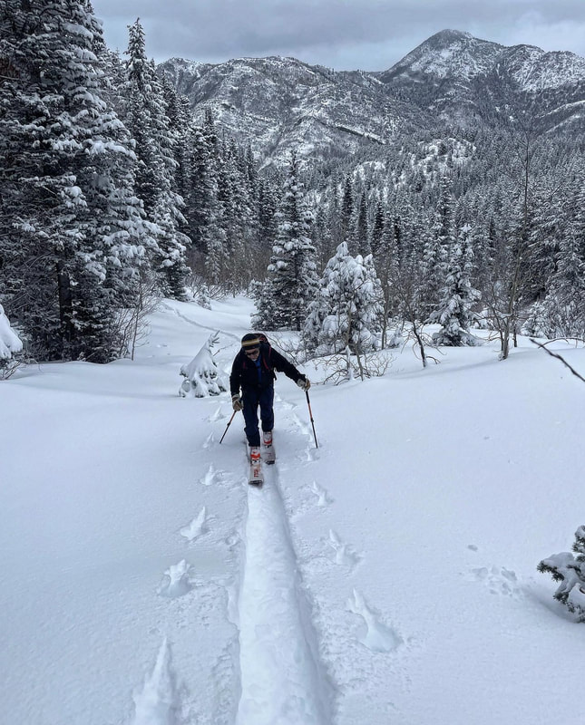
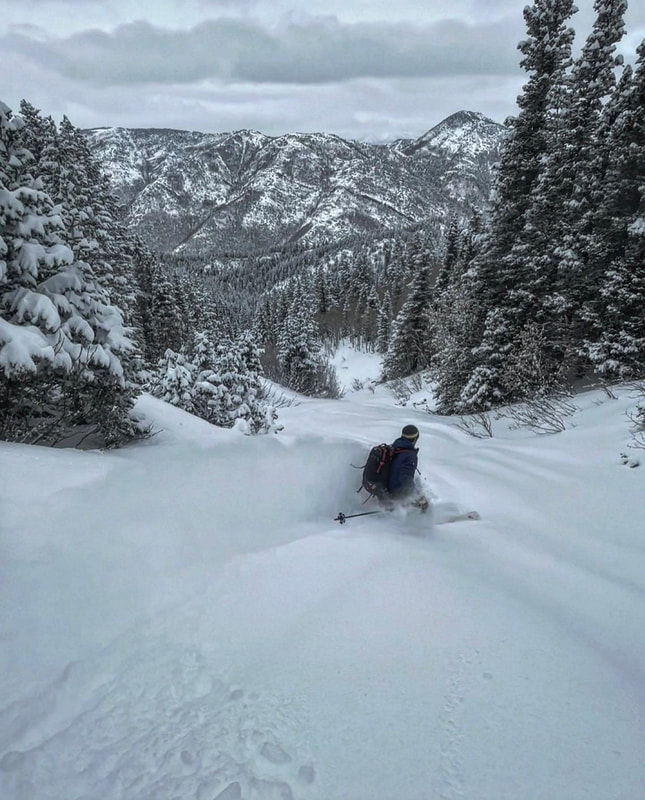
Travel today was up to Soldier Peak via Butler Fork. Only got a little ways up the trail before we had to start breaking trail.The breaking was fairly deep but doable on the S facing, got deeper and harder on the more northerly terrain. Today was a day to take a step back and let the new snow settle and let the pack adjust to the new load. We experienced multiple fairly large collapses while breaking trail on the low angle protected terrain but nothing on the actual slope. Any sort of collapsing should be taken seriously in my book and I was glad we stuck to the lower angle slope today. The new snow got damp on the south facing and will most likely be crusted in the am. I am still suspect of steep slopes on the N end of the compass until proven otherwise but I think these instabilities will settle out with time and warming temperatures. I’m more suspect of protected steep terrain on the N end of the compass than the wide open alpine slopes but patience is key after receiving a large load of snow with a good amount of water weight. It’s just nice to get a real storm, it was starting to get ragged out there
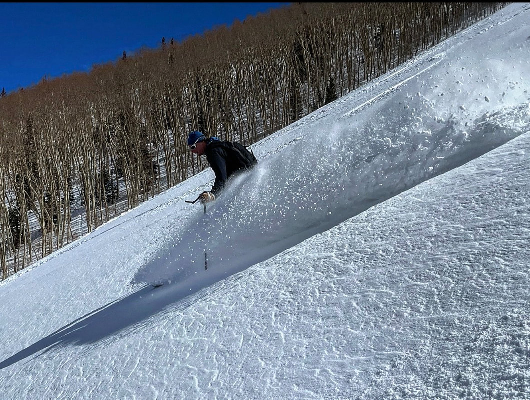
March 06th, 20223/6/2022 Kind of a strange storm last night. I got 14 inches at my house at the mouth of Parleys Canyon, Alta got 7, about the same in BCC. Decided to go to Millcreek Canyon and headed up the Bowman Trail. There was about a foot of snow in the parking lot at 5600ft. The new snow was light density and there wasn’t much wind in the terrain covered, which means the avalanche hazard wasn’t heightened all that much. No slab not much added weight and the new snow bonding well to the old damp bed surface. You might be able to trigger a slide if you could find a wind loaded pocket in steep terrain resting on old facets, but still not seeing enough of a load to cause harmful avalanches. If the wind does pick up and transport snow, all bets are off. But for the time being things seem mostly stable. If the strong March sun comes out tomorrow south facing is going to be a problem with light density snow resting on a hard and slick bed surface. Not really sure what’s going on up higher, only made it to 9000ft today but from what I gather there is way less snow up high. March 01st, 20223/1/2022
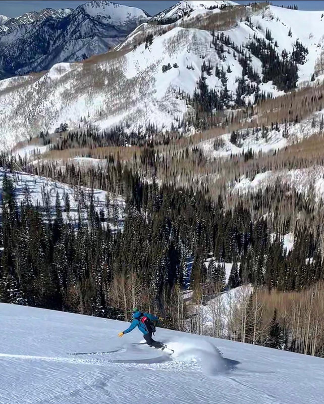
Temperatures are warming fast this week with the strong March sun. I decided it was time to get high in the alpine and stay in due N facing terrain. White Baldy is in the very back of the Redpine drainage and tops out at a little over 11,000ft. Getting there was a bit of a struggle with a icy skin track down low, the super gloppy saturated snow at mid elevations, so skin wax is recommended. Once we got to the bottom of White Baldy it was evident that it had shed a lot of snow during the storm last week but it looked more like sluffing than actual avalanching. There was approximately 10 to 12 inches of light density snow sitting on a spongy base. The new snow stayed dry on the high N but got damp in most other locations. There was lots of wet activity on the mid elevation W facing and also S and E. The North was stable like it’s been all week in my opinion but there are a few windslabs scattered around and triggering one in high consequence terrain would not be good. I’d expect everything to be crusted in the AM except higher elevation NW, N, NE.
If you are enjoying the observations, please consider donating on VenmoMark-White-240 
Archives
January 2024
Categories |
 RSS Feed
