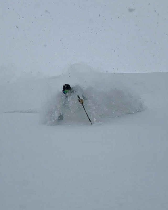
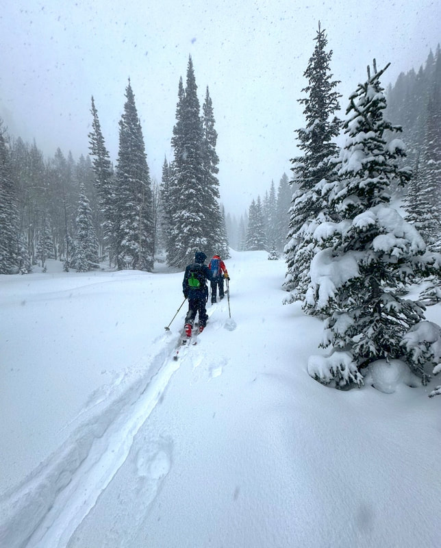
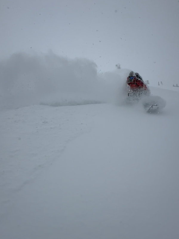
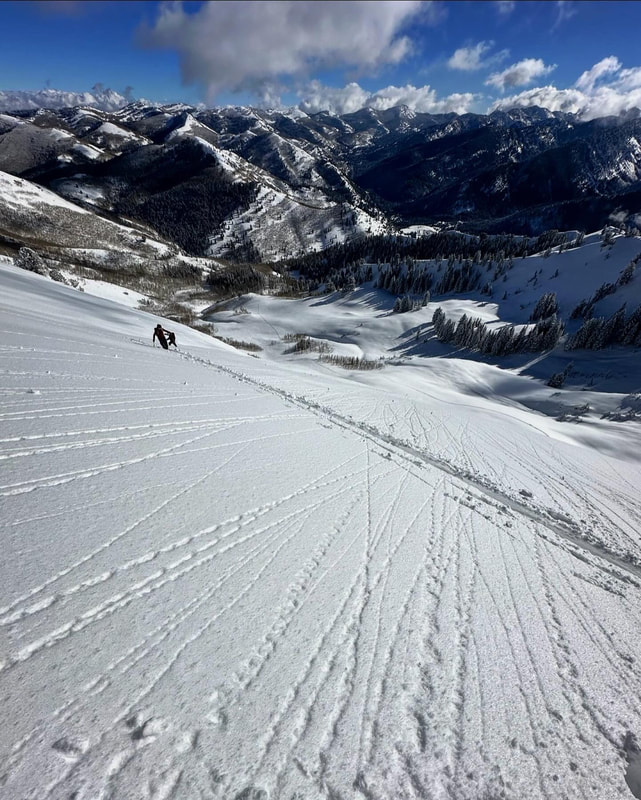
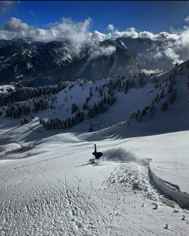
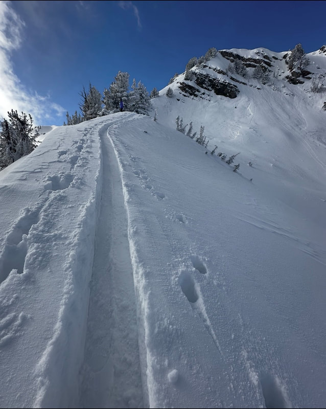
Cardiff (12/8) and Butler (12/9)12/10/2023 We had a few warm days leading up to the most recent storm on 12/7-8. The storm came in warm and laid down a layer of graupel and denser snow coupled with fairly strong winds. Then on 12-8 the lake effect kicked in and delivered another couple feet of light density blower, with moderate wind speeds. The two days of warm weather before the storm crusted up the surface of the snow below 8500ft on most aspects, then locked it up when it got cold. It seemed like a good portion of the high elevation steep slopes that had the PWL had avalanched before this most recent storm. Fridays travel was up Cardiff Fork from the BCC side. We ended up in Ivory Flakes knowing that the over head hazard had recently avalanched fairly large and there was not a slab sitting on weaker snow. High PI rates up to 3 inches a hour kept us away from anything steep. Visibility was hard to come by, but the only activity noted was sluffing in the new snow and some pockets of wind loaded snow. The next day we woke up to sunny skies, light winds and cold temperatures. Not knowing exactly how the new snow was bonding, or if the new load was enough to trigger slides down to the PWL we decided to ski steep S facing terrain in Butler Basin. All the N and E aspects had avalanched impressively the previous week. The bed surface on the S facing was basically a frozen, consolidated brick sitting on dirt, and we discovered that the bond with the new snow was good. We skied steep S with zero activity off the back side of Gobbler’s Knob. The surface did end up getting damp and there was some damp snow and crusts on the S on sunday. Between the widespread avalanche cycle last week and a couple days of unusually warm weather it seemed to consolidate the snowpack and start the healing process on the slopes with old faceted snow. We’re not out of the woods yet with the PWL (in my opinion) seeing that a few slides like the one in the Wilson chutes are still being triggered remotely. Avalanches are becoming much harder to trigger and the slopes with the most snow at higher elevations seem to becoming more stable. I’m still wary of steep slopes on the N end of the compass in thinner snowpack areas outside the upper Cottonwood Canyons. Especially rocky slopes where a slide could be triggered in a thin spot in the overlying slab. On the bright side, the last few storms have opened up a bunch of new terrain, and the deeper the snow pack gets the more stable it becomes. Photos are from Ivory Flakes during the storm and Butler Basin after the storm.
0 Comments
Leave a Reply.If you are enjoying the observations, please consider donating on VenmoMark-White-240 
Archives
January 2024
Categories |
 RSS Feed
